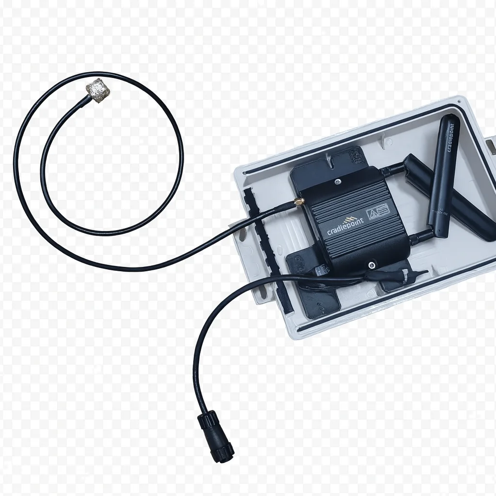
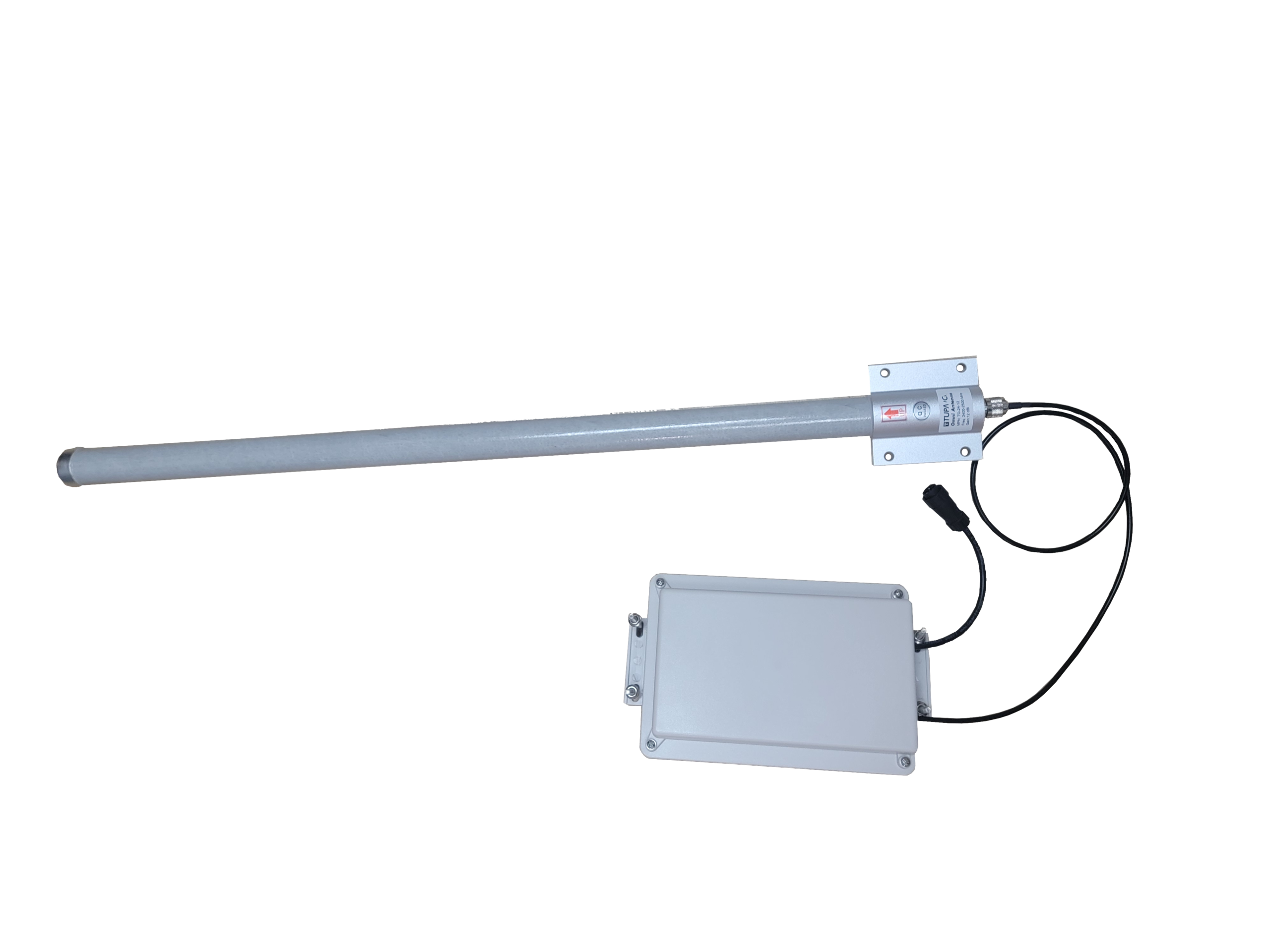
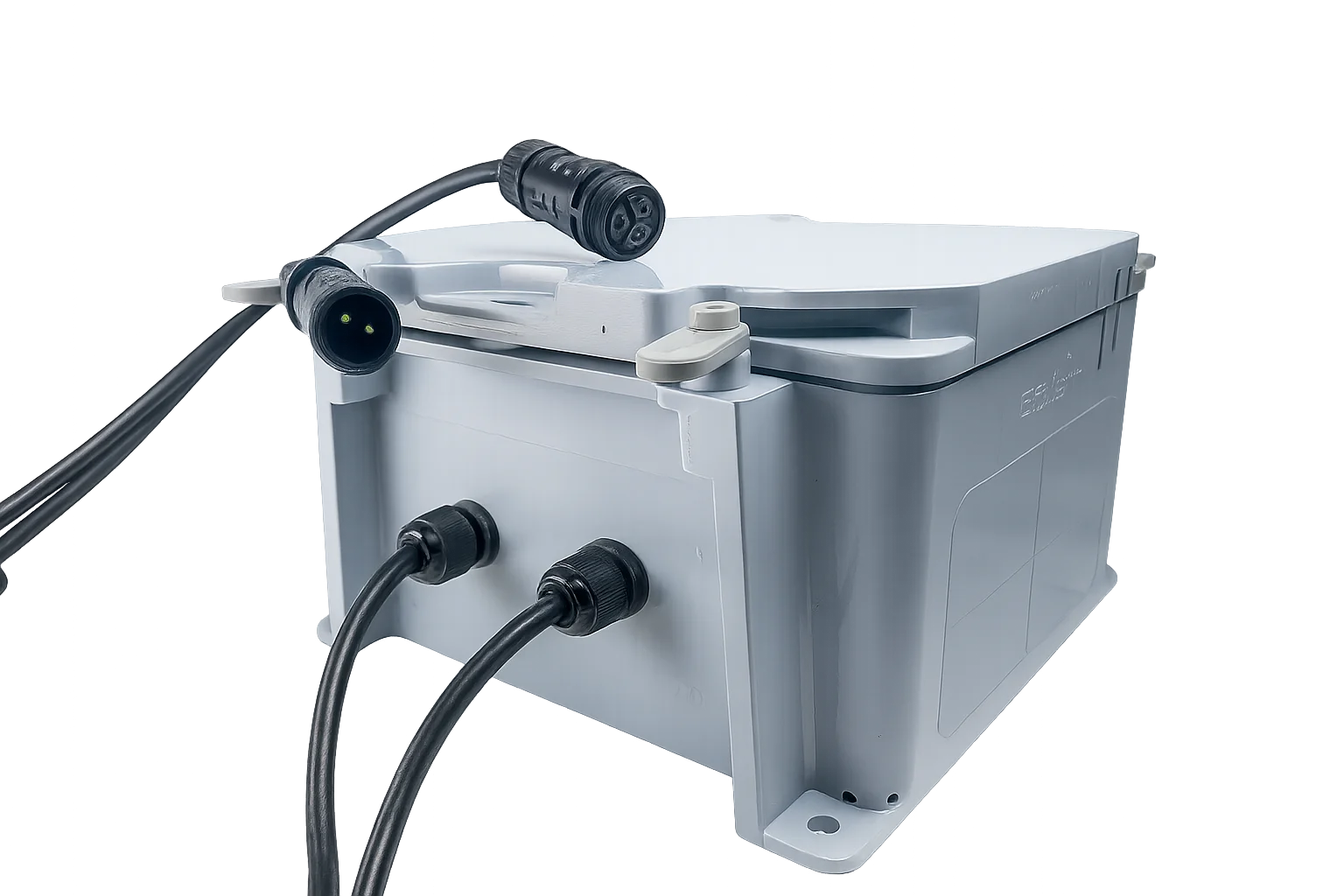
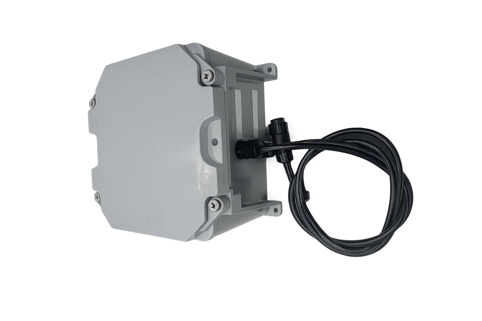
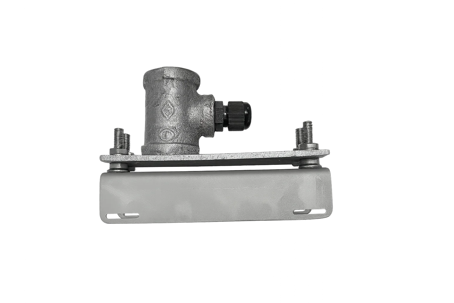
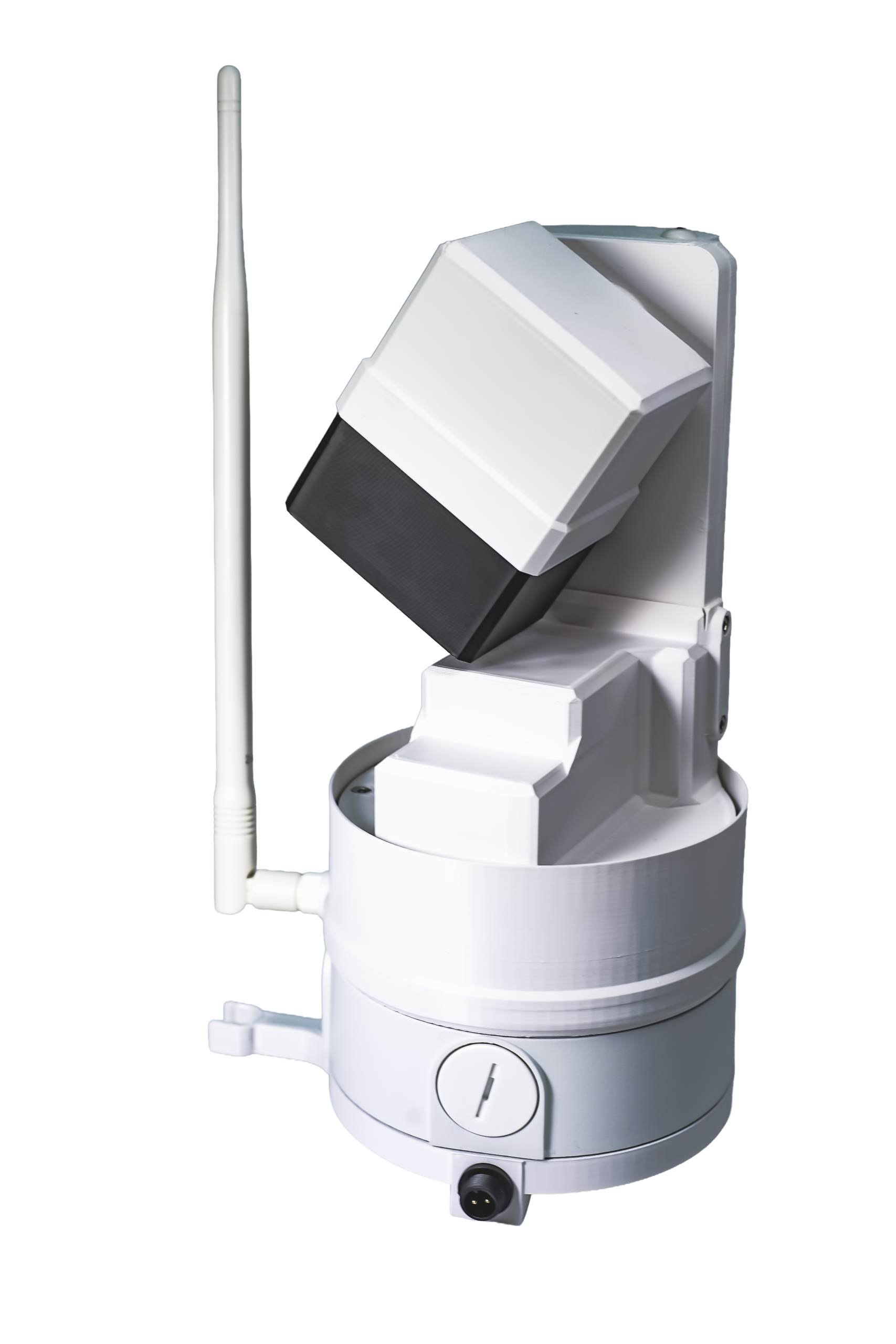
CradlePoint IBR200 LTE Router
Wireless LTE to Wi-Fi router with long range antenna, pre-wired: CradlePoint IBR200 LTE Router in enclosure.
Wireless LTE to Wi-Fi router, providing reliable remote connectivity for EOS2 Scanner deployments. The router is supplied with a power adapter designed to integrate directly with Altamus solar and battery systems, simplifying off-grid installations.
Can be shipped pre-configured for use with Hyperion, a data plan is available for $50 per month, or the system can be deployed using a customer-supplied SIM card.
Includes
One Cradlepoint IBR200 LTE router
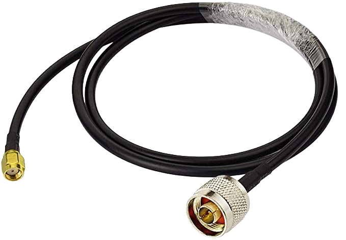
One RP-SMA to N-type adapter cable, 3 ft
One pre-wired male 3-pin AOHUA connector to Cradlepoint 4-pin power input via lever connector
Connectivity options