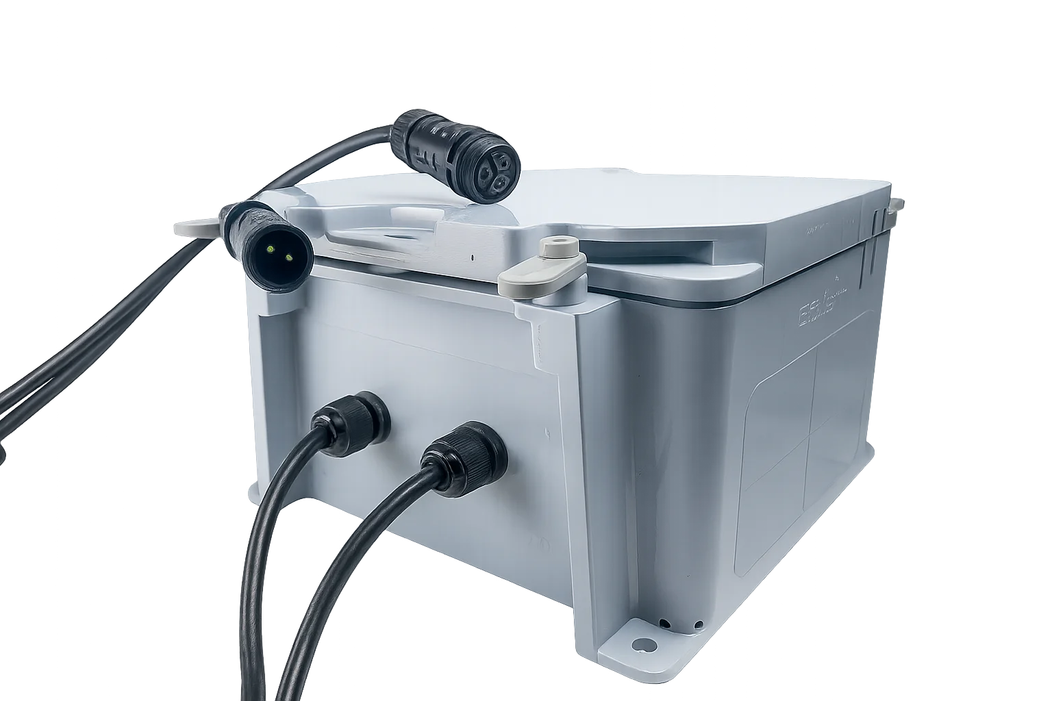
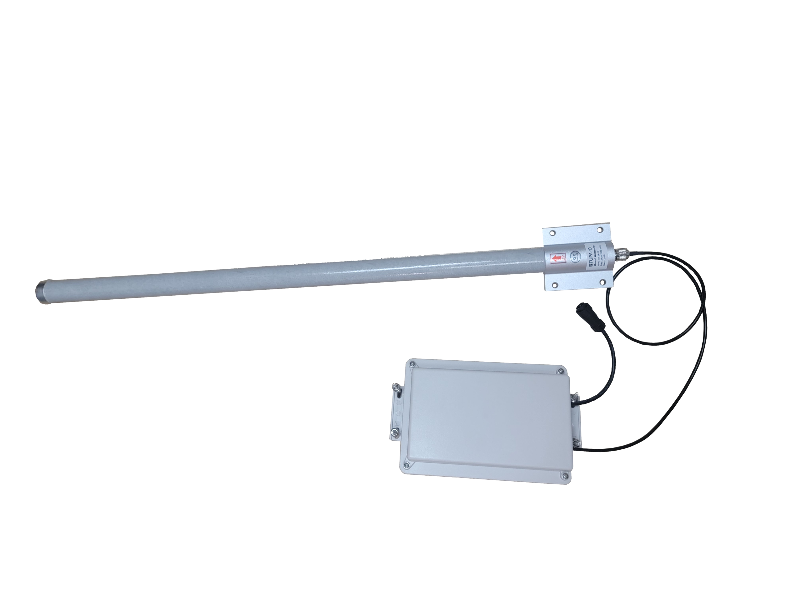
This kit includes a 12V battery assembly housed in a water-resistant enclosure, designed to provide reliable off-grid power for EOS2 Scanner deployments. The enclosure integrates a 12V solar charge controller with low-voltage disconnect and front-facing cable leads to simplify wiring and reduce installation time in the field.
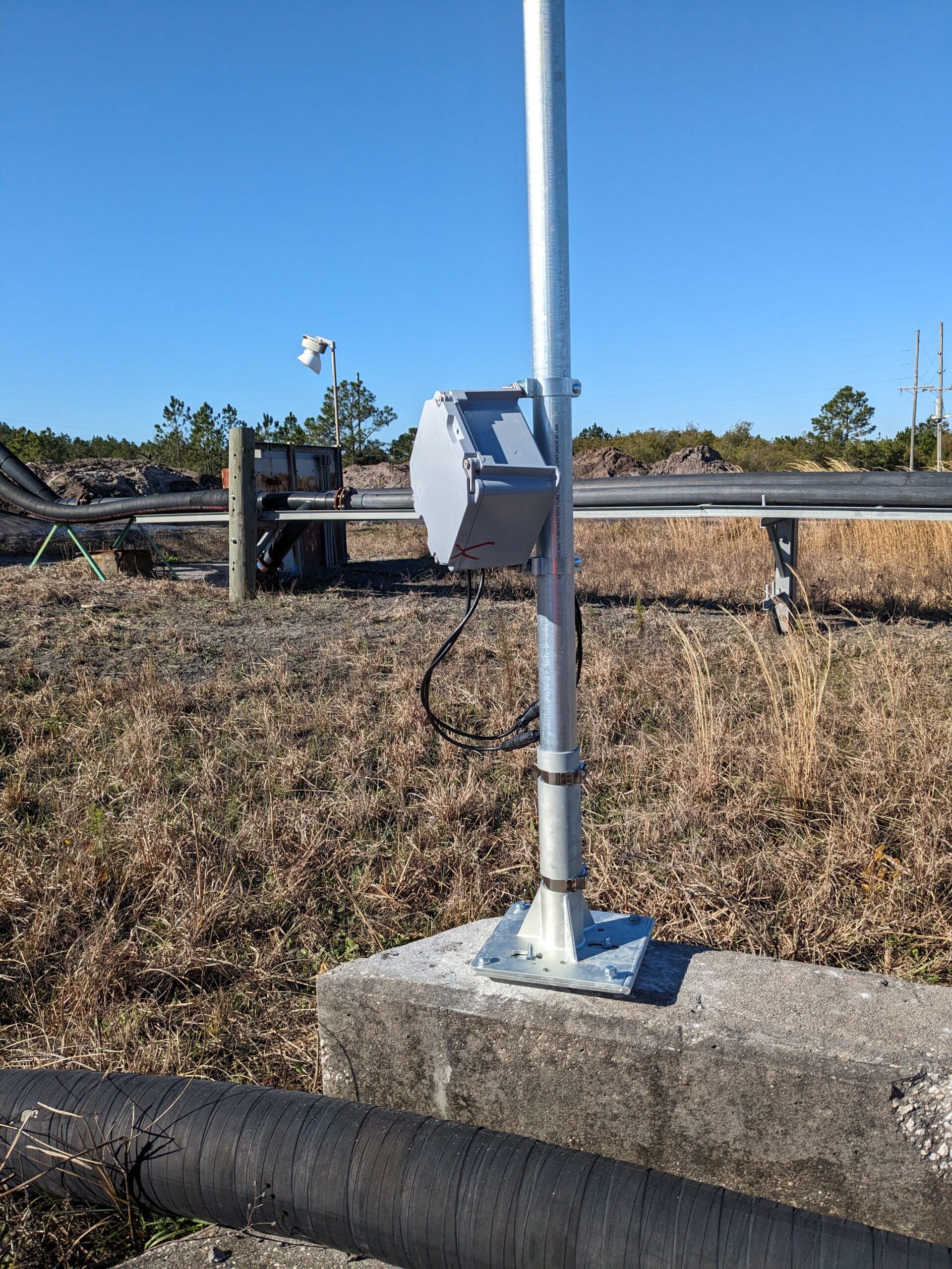
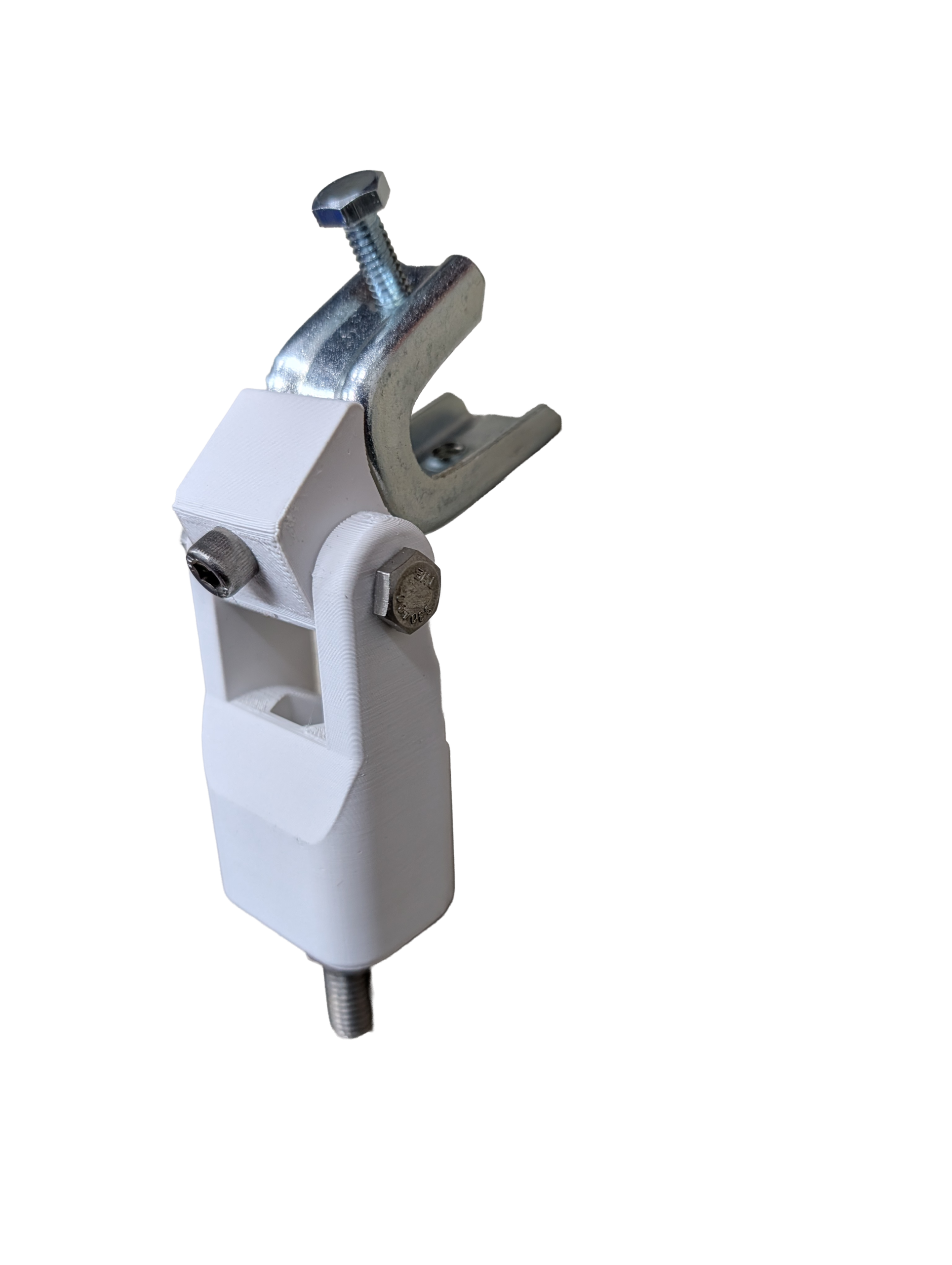
The enclosure mounts directly to 1-1/4″ EMT using the included mounting hardware, creating a compact and secure power solution for outdoor and industrial environments.
Includes
-
Water-resistant 8×8 enclosure
-
Two 10Ah batteries
-
12V 6A solar charge controller with LVD
-
3-pin wired female AOHUA connector for load output, 16 AWG wire
-
2-pin wired male AOHUA connector for solar input, 16 AWG wire
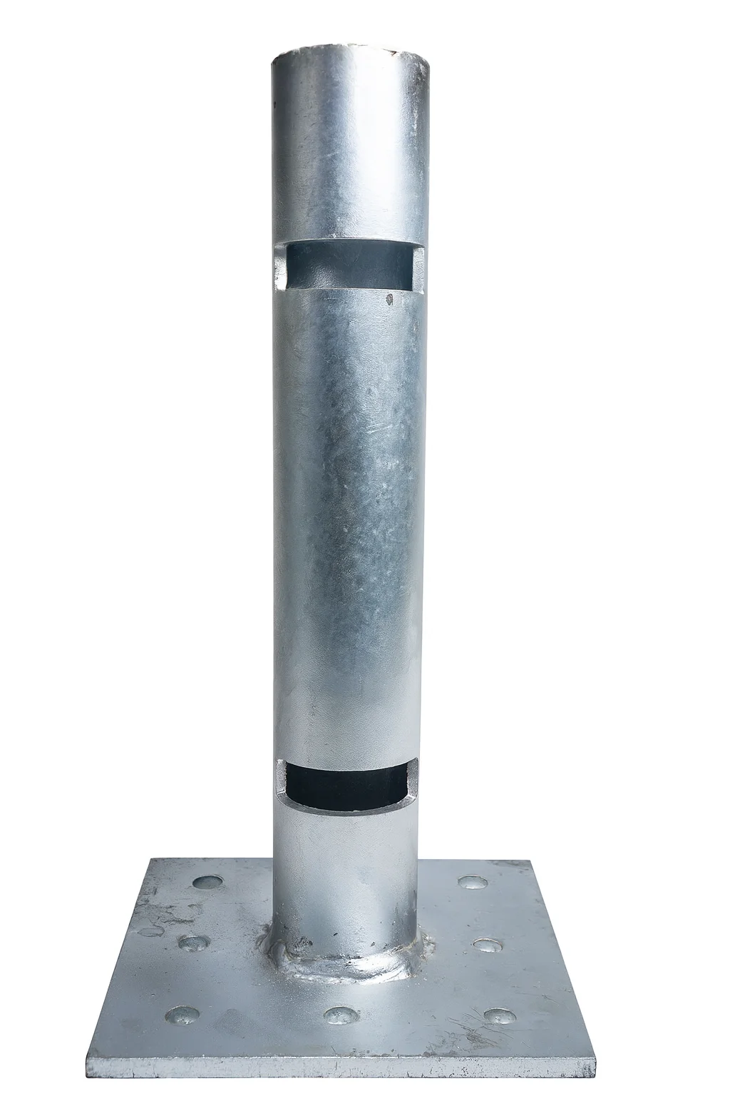
- 10′ EMT Wire Kit
-
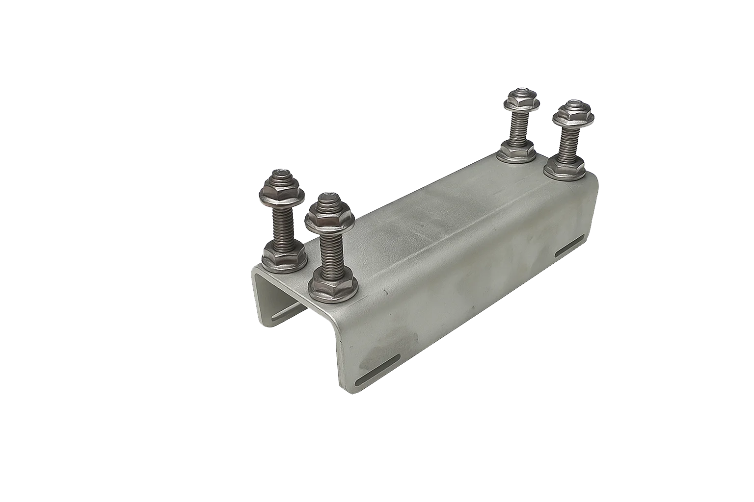
Two 1-1/4″ pole mounting clips, conduit hangers
-
Two 1/4″-20 TPI bolts
-
Four 1/4″-20 TPI nuts