$2,750.00
About this product:
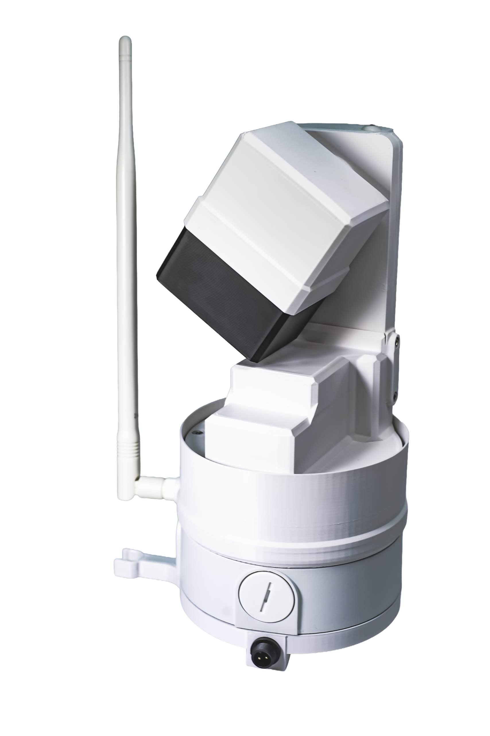
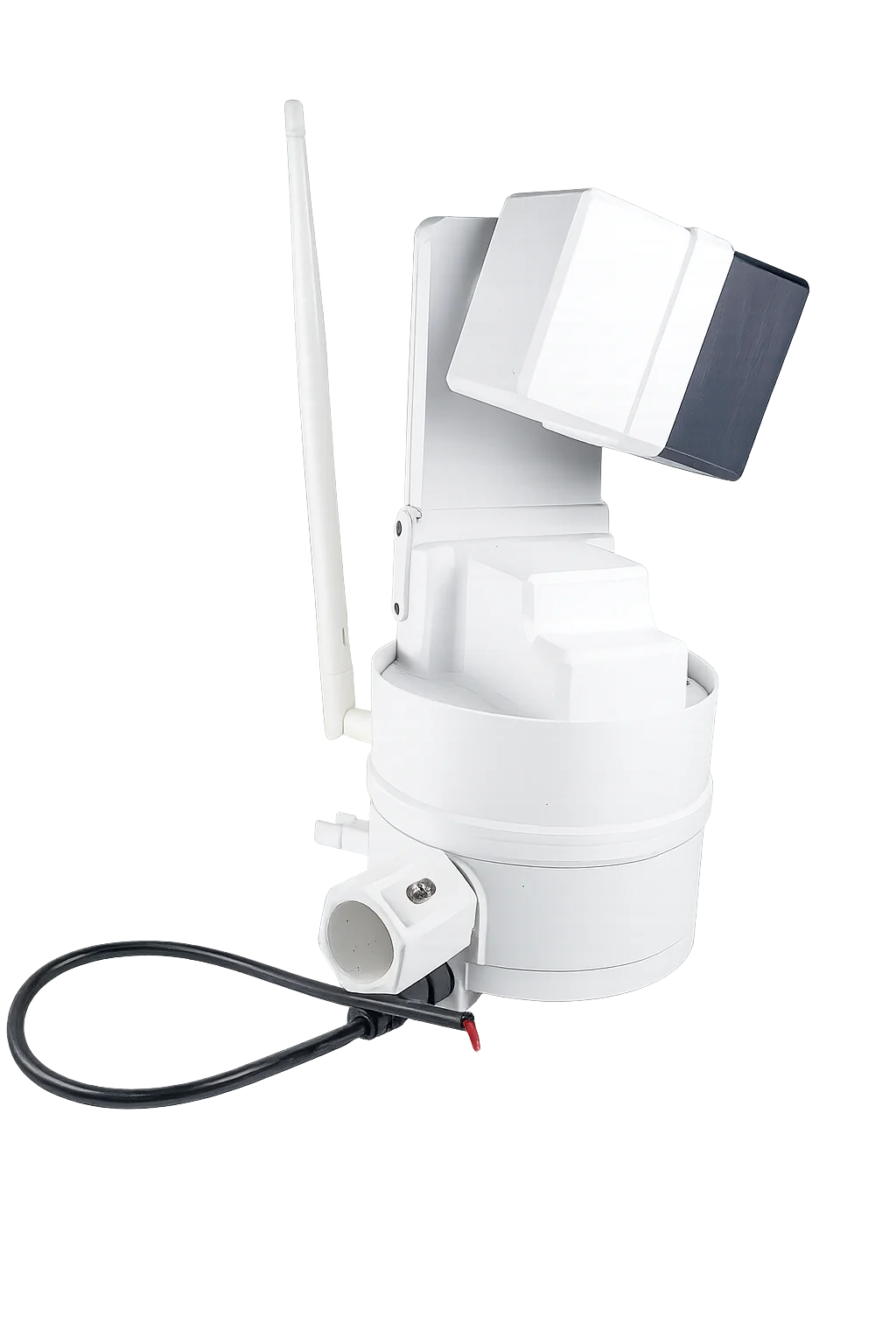
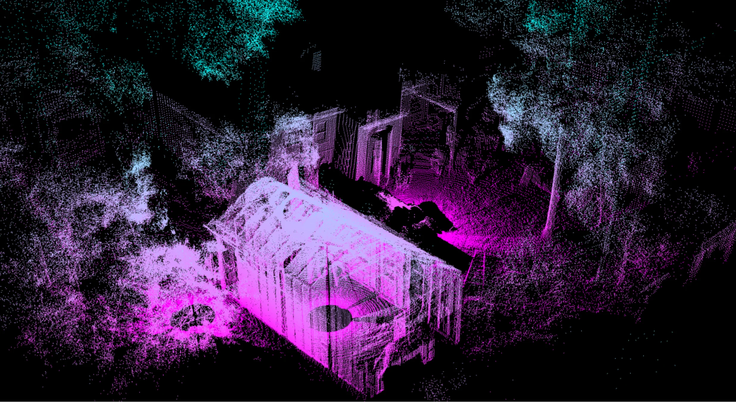
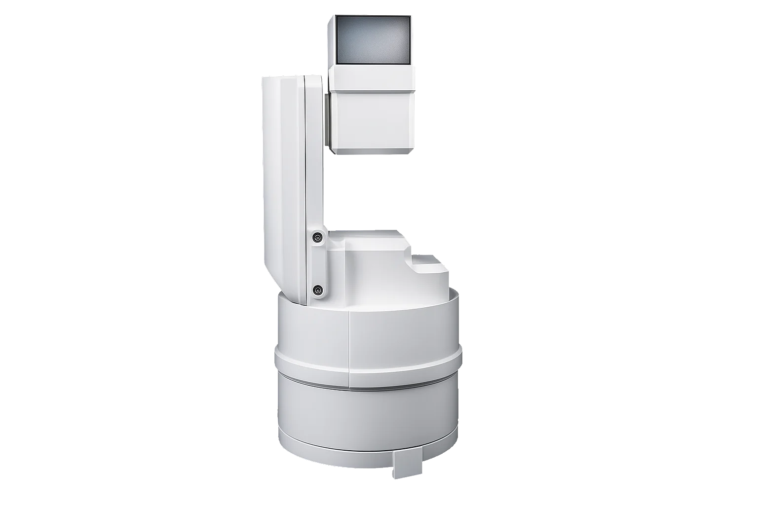
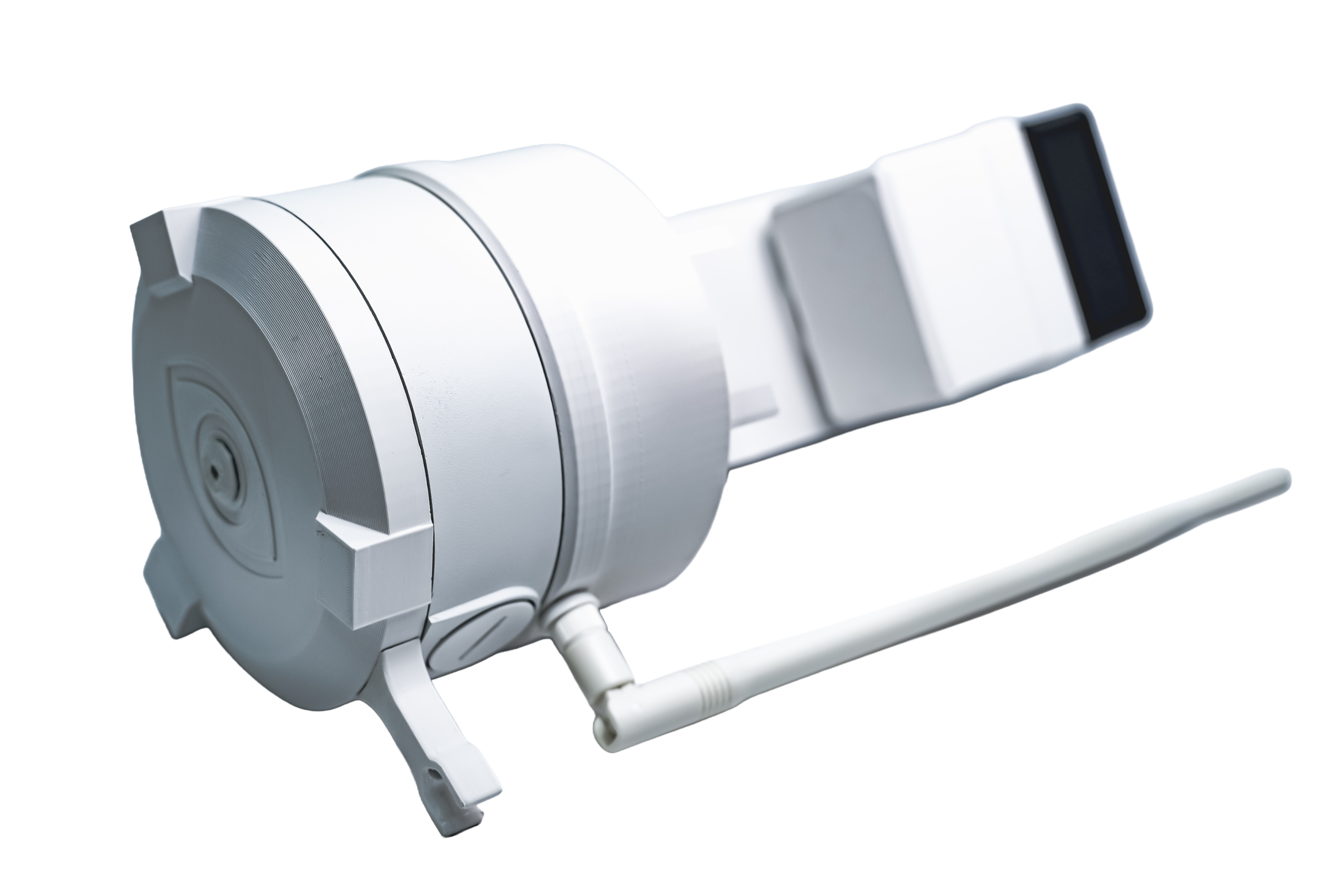
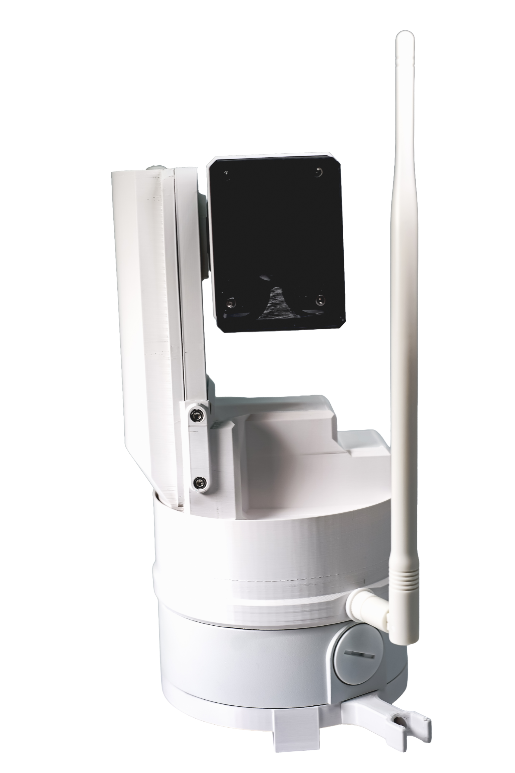
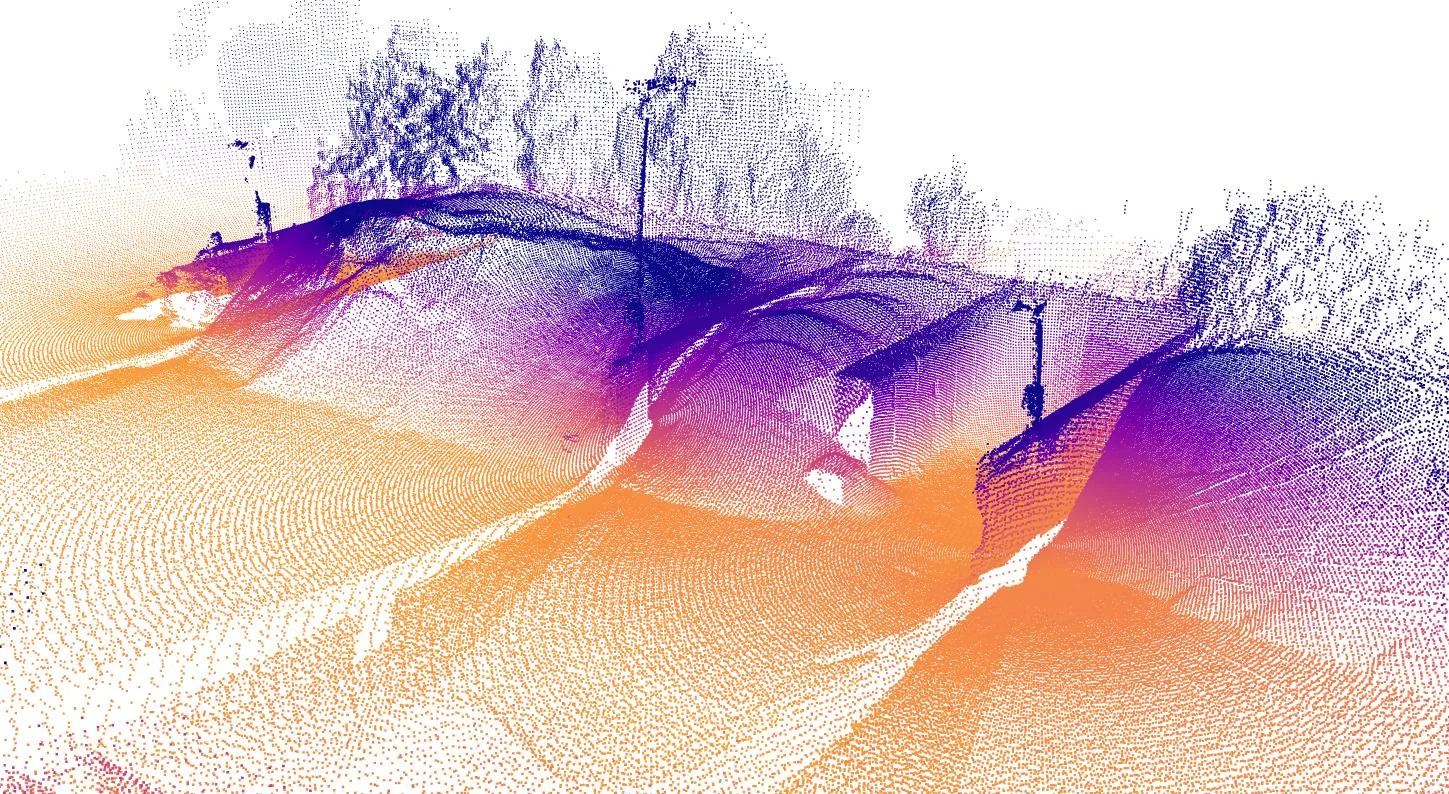
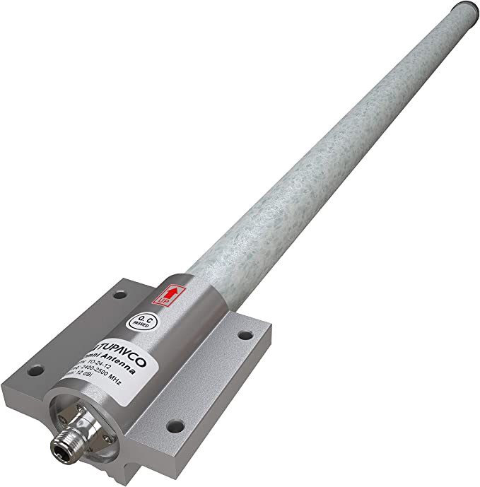
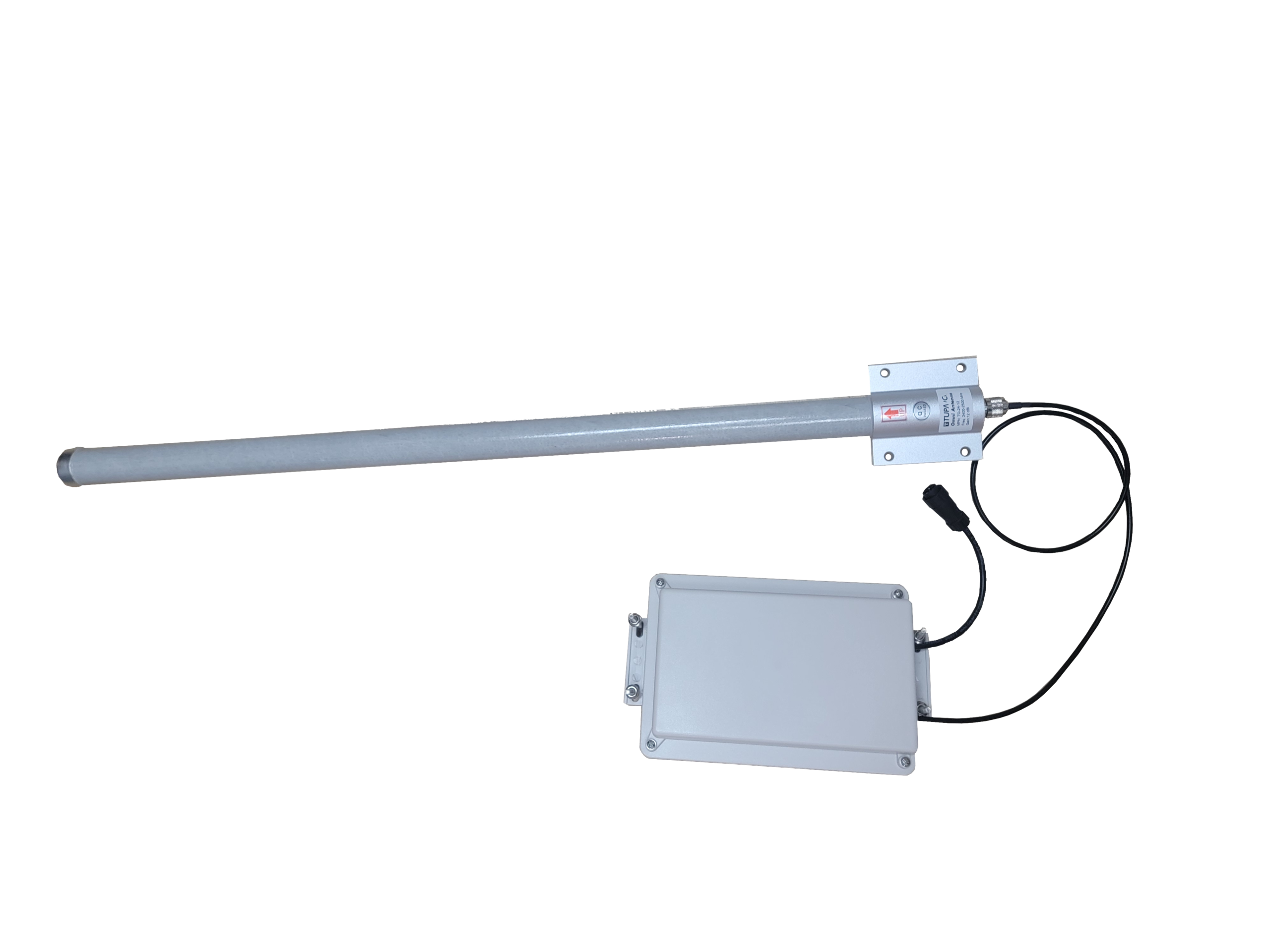
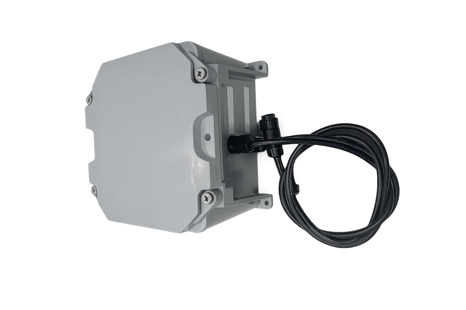
The EOS2 LiDAR sensor delivers powerful, high-resolution 3D scanning in a compact, cost-effective platform built for real-world use. Designed to make professional-grade LiDAR accessible, EOS2 turns raw environments into precise digital models with speed and reliability.
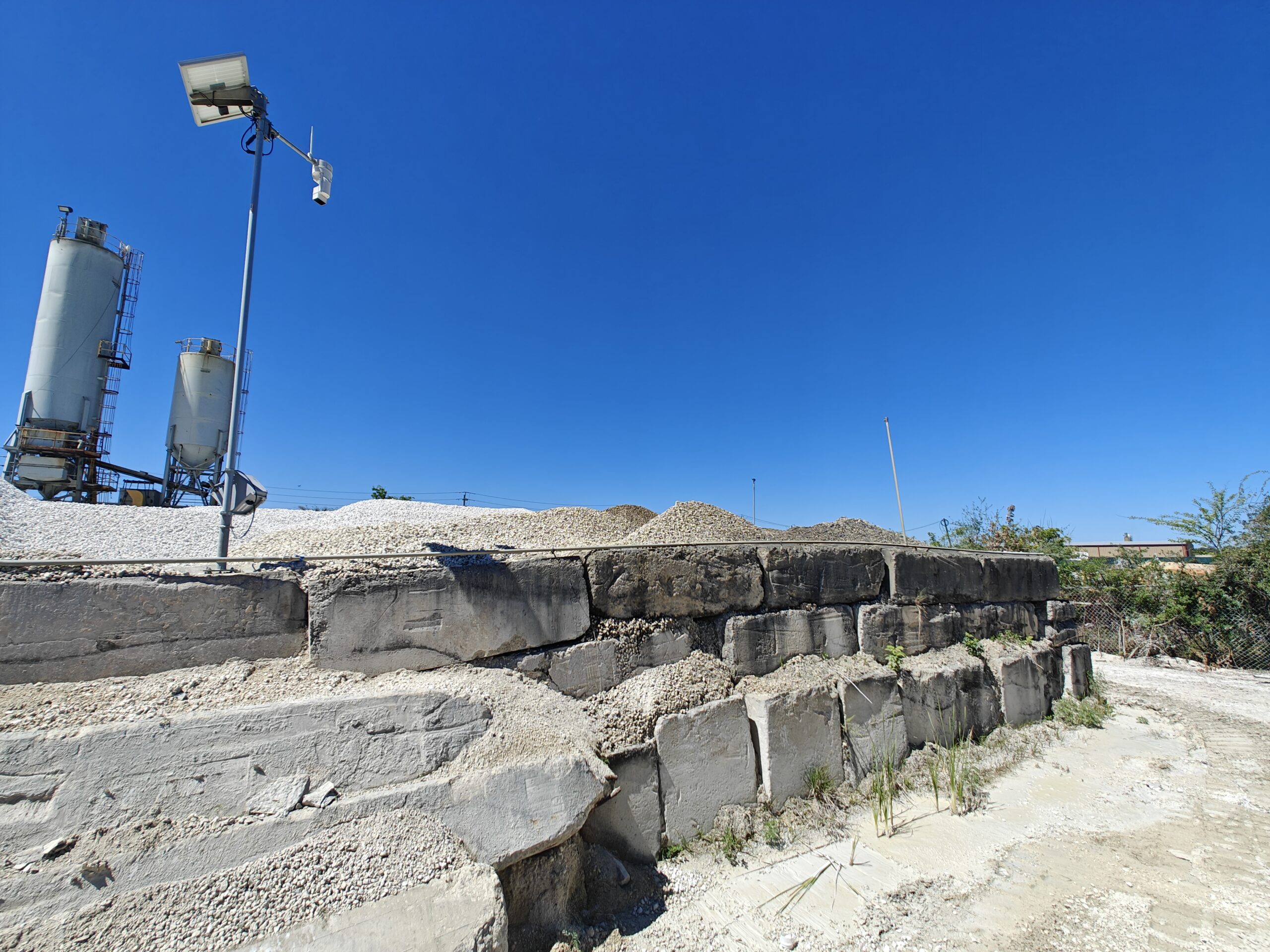
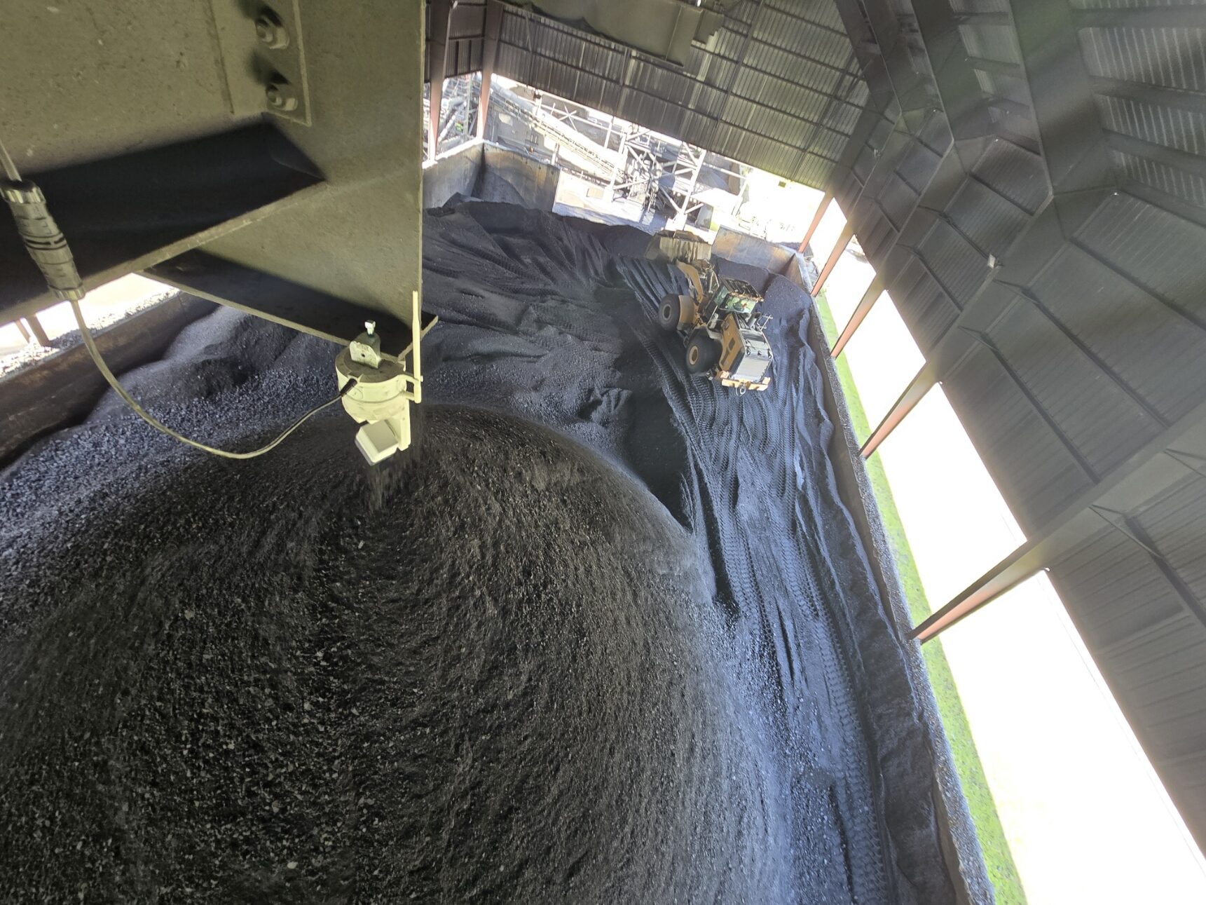
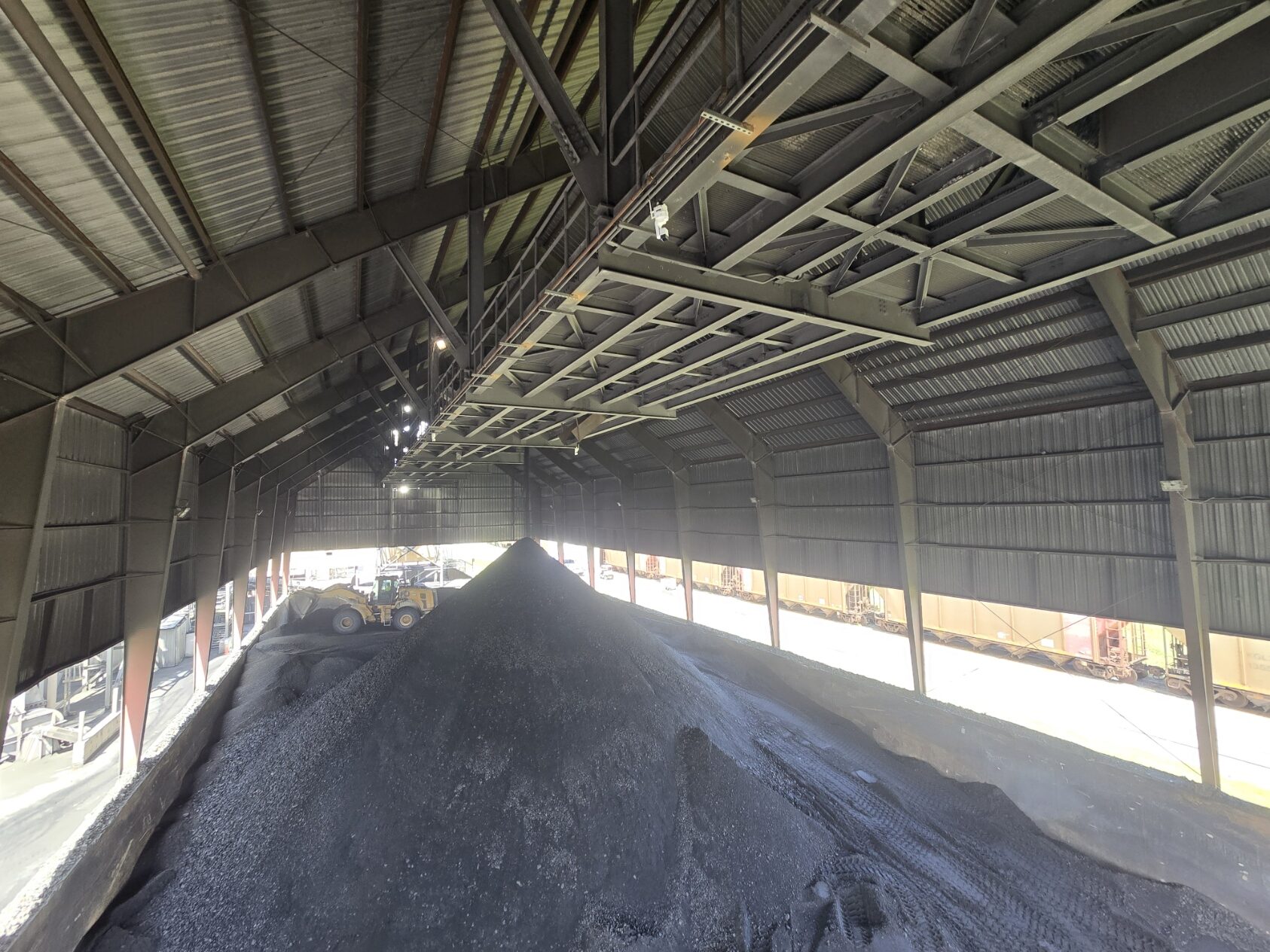
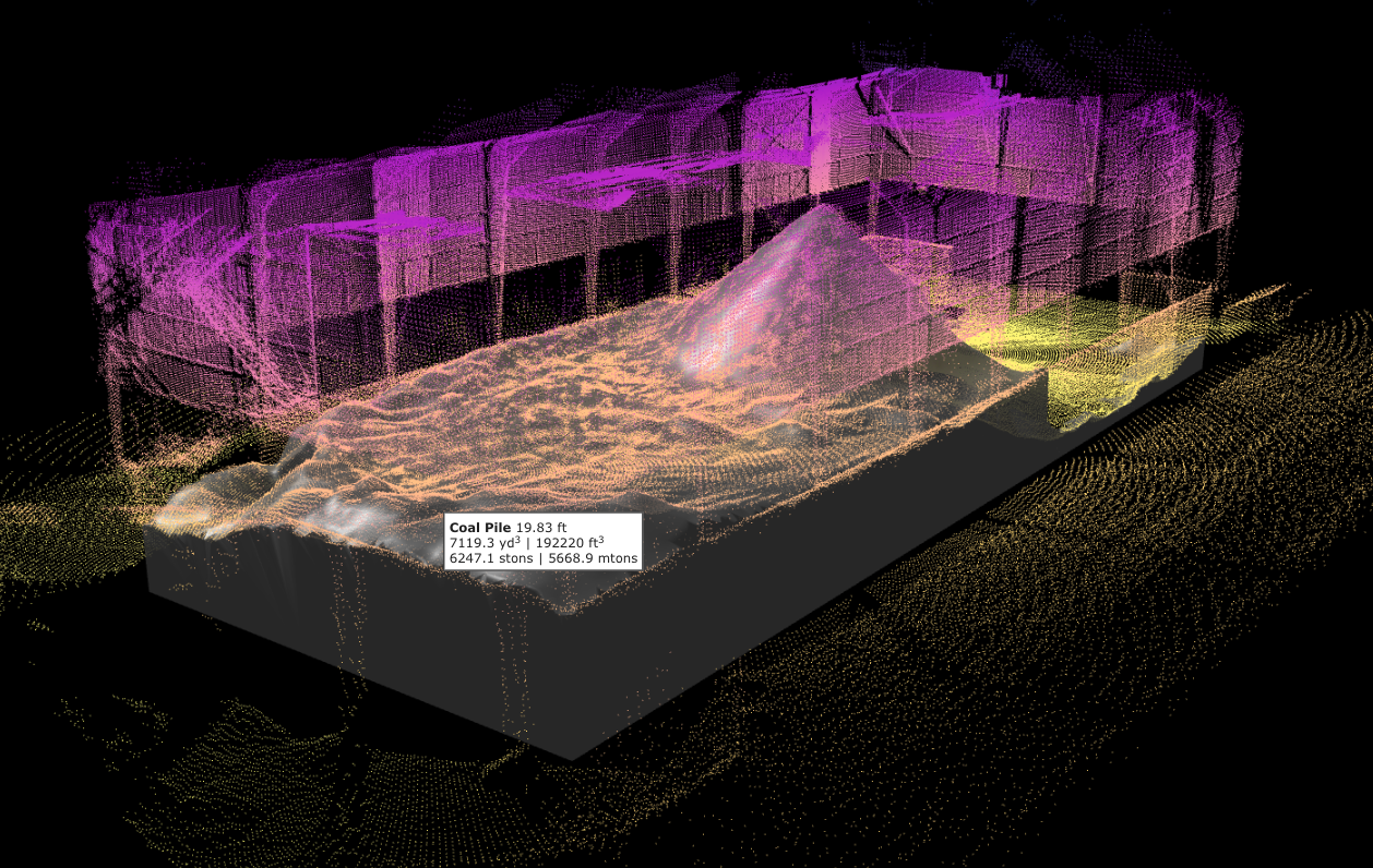
Paired with the Hyperion volume scanning system, EOS2 provides automated 3D data capture for accurate material measurement, mapping, and analysis. Once installed, the sensor can run on a schedule or with manual remote triggering, enabling consistent, repeatable results in demanding environments.
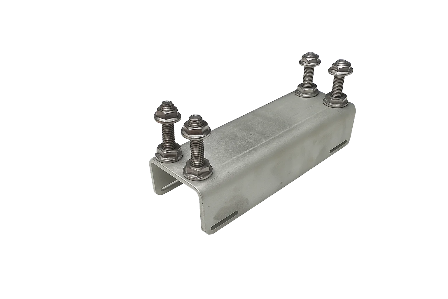
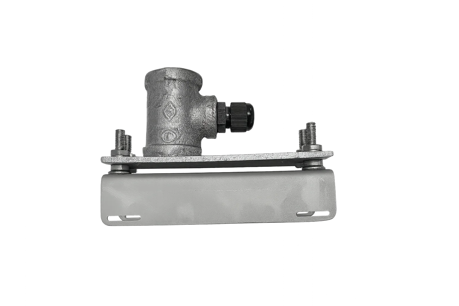
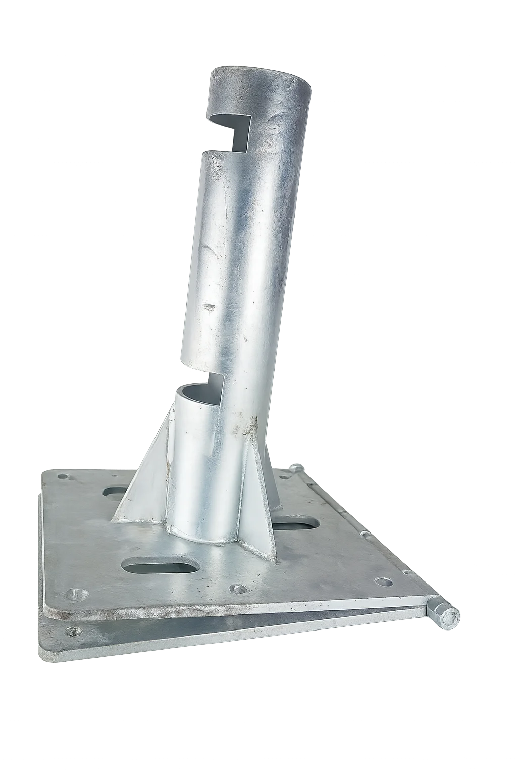
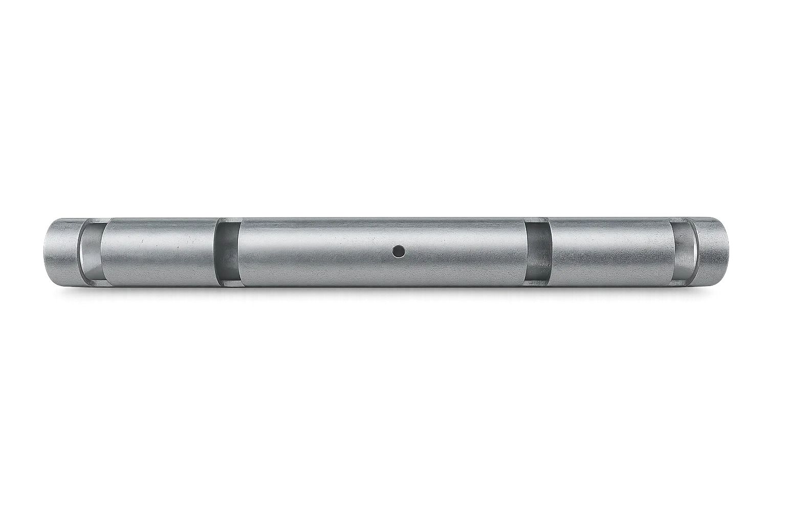
For installation flexibility, EOS includes an integrated NPT mounting adapter, allowing direct attachment to standard 3/4″ NPT hardware for fast, secure deployment across a wide range of mounting configurations.
This is LiDAR made practical. Stop imagining what’s possible and start mapping it.
Highlights
High-resolution 3D LiDAR sensor optimized for continuous operation
Designed for automated volume scanning and spatial measurement
Seamless integration with the Hyperion platform
Compact, low-power, and field-proven for outdoor and industrial use
| Power | 12VDC | 2A peak, 500mA scanning, 25mA idle |
| Mounting | 3/4″ NPT |
| Communication | 2.4 GHz WiFi, Bluetooth |
| Ingress Protection | IP54 |
| Angular Accuracy | 0.25° |
| Range-finder Accuracy | 1% |
| Scanner Range | 150 ft |
Solar Panel (30Watt) with Mounting Bracket
Wireless LTE to Wi-Fi router with long range antenna, pre-wired:...
Two wires cut to length with waterproof connectors.
Long range antenna, pre-wired with Solar Panel Attached
T-Joint, T-Joint to Pole Adapter
The EOS is a next-generation spherical LiDAR sensor engineered for long-range 3D mapping and real-time perception. Its primary goal is to provide a powerful, robust 3D data capture solution at an affordable price point, breaking the barrier of traditionally high-cost equipment.
The sensor features a full 360° x 180° spherical field of view, eliminating blind spots. It has a per-scanner range of 50–150 feet (approx. 15-45 meters), 0.25° angular accuracy, and 1% range-finger accuracy. It is designed for rugged outdoor use with an IP54 rating (dust-proof and protected against water splashes) and communicates via 2.4 GHz WiFi and Bluetooth.
The sensor transforms physical environments into high-density 3D point clouds. This data creates a high-fidelity “digital twin” of the scanned area, enabling precise measurements, change detection, volume analysis, and complete spatial intelligence.
The sensor is versatile and applied across multiple sectors, including:
Construction & Mining: For calculating stockpile volumes and tracking earthworks (cut and fill).
Surveying & Mapping: To generate high-accuracy Digital Elevation Models (DEMs) and topographic maps, even under dense vegetation.
Forestry: To penetrate forest canopies, measure tree height, estimate timber volume, and model wildfire risk.
Infrastructure: For mapping utility corridors (power lines, pipelines) and detecting vegetation encroachment.
Precision Agriculture: To measure crop height and density, enabling optimized application of water and fertilizer.
The key advantage is its excellent vegetation penetration. As an active sensor (it emits laser pulses), it can “see” through tree canopies to map the true ground, which photogrammetry (a passive sensor using ambient light) cannot do. Furthermore, EOS LiDAR provides higher vertical accuracy (typically < 3cm) and can operate 24/7 (day or night).
The sensor features a full 360° x 180° spherical field of view, eliminating blind spots. It has a per-scanner range of 50–150 feet (approx. 15-45 meters), 0.25° angular accuracy, and 1% range-finger accuracy. It is designed for rugged outdoor use with an IP54 rating (dust-proof and protected against water splashes) and communicates via 2.4 GHz WiFi and Bluetooth.
Yes. While a single scanner has a defined range (e.g., 50-150 ft), multiple units can be installed. The point clouds from several sensors can be “stitched” or merged (for example, using the Hyperion software) to create a single, seamless 3D model with unlimited coverage.
No, it is not strictly required. The EOS sensor can operate locally using its companion application when connected directly via WiFi or Bluetooth. However, an internet connection is recommended for remote data access, receiving alerts, or integrating with cloud-based tools like Hyperion.